
Driving Structural Excellence: Geotechnical Investigation Services in Jangipur, West Bengal When it comes to construction,…
Expert Geotechnical Investigation in Alipurduar, West Bengal
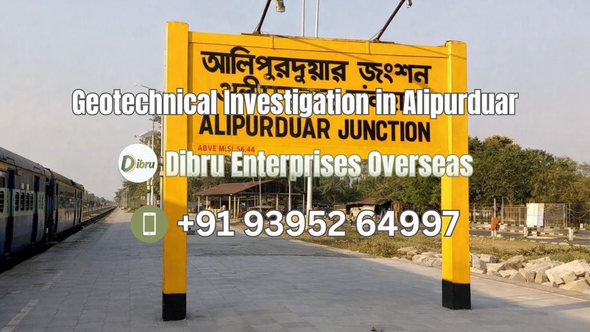
Mastering the Terrain: Geotechnical Investigation in Alipurduar by Dibru Enterprises Overseas
The district of Alipurduar, the 20th district of West Bengal, serves as the vital gateway to the North-Eastern states and the neighbouring Kingdom of Bhutan. Characterized by its lush tea gardens, dense forests like the Buxa Tiger Reserve, and a network of powerful Himalayan rivers, Alipurduar is a region of immense strategic and economic importance. However, for engineers and developers, this “Gateway to the Dooars” presents a complex geological puzzle.
Dibru Enterprises Overseas, headquartered in Guwahati, Assam, is a premier provider of Geotechnical and Geophysical Exploration services. With specialized expertise in handling the unique soil and rock conditions of the sub-Himalayan belt, we bring high-level technical rigor to Alipurduar. Our mission is to ensure that the infrastructure—ranging from administrative buildings in the town to bridges over the Kaljani River—is built on a foundation of scientific certainty.
The Alipurduar Landscape: A Divergent Geological Challenge
Alipurduar is not a uniform plain. Its geography is a transition from the rugged Buxa Hills in the north to the boulder-rich Bhaber tract and the riverine Terai plains in the south. At Dibru Enterprises Overseas, we understand that “soil testing” is not a static procedure; it must adapt to the “situation of the area.”
- The Northern Hilly Strata (Buxa and Jainti)
The northernmost fringe of Alipurduar, bordering Bhutan, is home to the ancient Buxa formation.
- The Situation: This area is dominated by metamorphic rocks like dolomite, quartzite, and phyllites. The slopes are steep, and the soil is often a thin layer of residual material over fractured bedrock.
- The Challenge: The primary engineering risk is Slope Stability. High rainfall (often exceeding 3500mm annually) can lead to rapid saturation of fractures, triggering landslides.
- Our Investigation Work: In these hilly regions, we employ Diamond Core Drilling to determine the Rock Quality Designation (RQD). We focus on identifying the orientation of bedding planes and joints to ensure that any cutting or building does not destabilize the slope.
- Foundation Strategy: We typically recommend Rock Anchors or Step Foundations that key directly into the unweathered bedrock.
- The Bhaber and Piedmont Zones (The Land of Boulders)
Immediately below the hills lies a belt where mountain streams lose their velocity and deposit heavy materials.
- The Situation: The ground here is a chaotic mixture of boulders, pebbles, cobbles, and coarse sand.
- The Challenge: Standard drilling rigs often struggle to penetrate these large stones, and conventional soil sampling is impossible.
- Our Investigation Work: We use Heavy-Duty Percussion Rigs and Dynamic Cone Penetration Tests (DCPT). Geophysics plays a vital role here; Seismic Refraction Surveys help us “see” the depth of the boulder bed and the competency of the layers beneath without excessive drilling.
- Foundation Strategy: Raft Foundations are often the safest choice to bridge the gaps between large subsurface boulders and prevent uneven settlement.
- The Southern Riverine Plains (Alipurduar Town and Falakata)
The heart of the district consists of deep alluvial deposits from rivers like the Torsa, Raidak, and Kaljani.
- The Situation: The soil is primarily sandy loam and silt. The water table is extremely high, especially during the monsoon.
- The Challenge: The primary concerns are Bearing Capacity and Liquefaction. During an earthquake (Alipurduar is in a high-seismic zone), saturated sands can lose their strength and behave like a liquid, causing buildings to sink or tilt.
- Our Investigation Work: The Standard Penetration Test (SPT) is our primary tool here. By driving a sampler into the ground and counting the blows (N-values), we calculate the soil’s strength at various depths. We also perform Piezometric Tests to monitor groundwater fluctuations.
- Foundation Strategy: Depending on the SPT results, we often recommend Bored Cast-in-Situ Piles to reach stiffer deep-seated strata.
Our Comprehensive Engineering Service Spectrum
At Dibru Enterprises Overseas, we bridge the gap between geology and civil engineering through a multi-disciplinary approach.
- Geotechnical Exploration (Direct Subsurface Profiling)
- Borehole Drilling: Manual and mechanical rigs tailored for Alipurduar’s varying soil-to-rock ratios.
- Sampling: Extraction of Undisturbed Samples (UDS) from clay layers and rock cores from the Buxa formations.
- In-Situ Testing: Plate Load Tests (PLT) to directly measure the ultimate bearing capacity for shallow foundations.
- Geophysical Exploration (Non-Invasive Mapping)
- Electrical Resistivity Tomography (ERT): Used to map groundwater levels and identify subsurface voids or mineral deposits (like dolomite pockets).
- Ground Penetrating Radar (GPR): Ideal for urban Alipurduar to locate buried utilities or detect ancient foundations before new construction.
- Seismic Refraction: Critical for determining the elastic properties of the soil, a necessary input for earthquake-resistant design.
- Rigorous Laboratory Analysis
Every sample from Alipurduar is sent to our laboratory to undergo specialized testing:
- Grain Size Analysis: Classifying the percentage of sand, silt, and clay.
- Atterberg Limits: Determining the plasticity and moisture-sensitivity of the soil.
- Triaxial Shear Tests: Measuring the internal friction of the soil to calculate precise safety factors for foundations.
- Chemical Testing: Assessing the pH and chloride levels in the soil to prevent “foundation rot” caused by acidic or saline groundwater.
Why Choose Dibru Enterprises Overseas?
Building in Alipurduar is a high-stakes investment. The region’s history of flash floods and seismic activity means that a “guesswork” foundation is a recipe for disaster.
- Himalayan Foothills Expertise: Based in Guwahati, our team is intimately familiar with the sub-Himalayan geology. We understand how the soil behaves when the Torsa overflows or when the Buxa hills experience a tremor.
- Pan-India Experience: While we have local roots, we bring the best practices of national infrastructure projects to Alipurduar. We strictly adhere to IS (Indian Standard) Codes for all field and lab work.
- Advanced Technology: We utilize digital data acquisition systems that minimize human error, providing you with reports that are trusted by architects and government auditors alike.
- Integrated Solutions: We are one of the few firms offering both Geotechnical (physical) and Geophysical (physics-based) exploration under one roof, providing a 360-degree view of your site.
Securing Alipurduar’s Infrastructural Future
As Alipurduar evolves into a modern logistics and tourism hub, the “groundwork” must be laid with precision. Whether you are building a boutique hotel in the Dooars, a government office in the town, or a private residence in the hills, your project deserves the security of a professional geotechnical investigation.
Contact Information
Ready to build with confidence in Alipurduar? Partner with the experts who know the earth beneath the gateway.
- Company Name: Dibru Enterprises Overseas
- Base Office: Guwahati, Assam
- Phone: +91 93952 64997
- Email: dibru.ent@gmail.com
- Website: https://dibruenterprises.com/
Related Posts

This Post Has 0 Comments